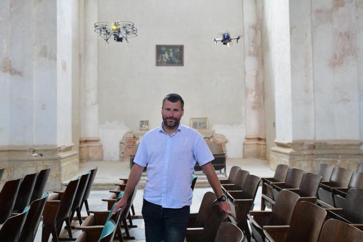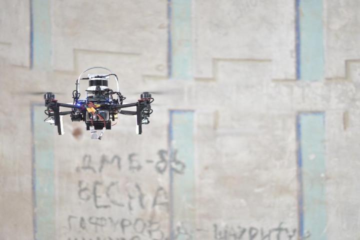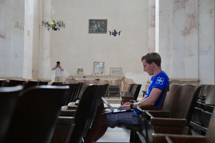
The group of cooperating drones fly fully autonomously, so there is no need for an operator or pilot to control them from the ground. The drones have divided tasks, with one carrying a camera and the others carrying light sources that illuminate the scene at a predetermined angle. The result is a more plastic image and better quality 3D models, from which conservationists are able to read more information not only about the surface, painting and structure of hard-to-reach places, but also, for example, about their humidity," explains Assoc. Martin Saska explains the technological shift that is possible thanks to the development of advanced software for autonomous flight within his approximately 30-member research group working at the Department of Cybernetics at the Faculty of Electrical Engineering of CTU.
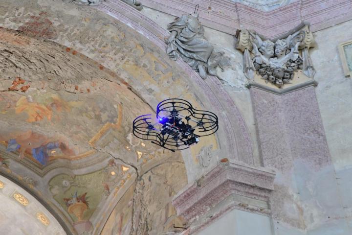
Drones can also reach hard-to-reach and poorly lit places such as domes, balconies, statues, stained glass windows and other objects where only the front part is visible from the ground and which would otherwise require scaffolding or a forklift to explore. Often the latter cannot even get into place because of the confined spaces.
Milan Škobrtal, a conservationist from the territorial expert workplace of the National Heritage Institute in Olomouc, who cooperates with the Multirobotic Group from FEL CTU, also notes the shift in image quality. "For a good picture you usually need a long exposure time. By improving the stability of drones in the air, we get sharp images, from which we can then create high-quality photomaps," says the conservationist, who sees the method as particularly promising for mapping large and hard-to-reach spaces such as temples and castle halls.
"Most often we examine wall paintings, stucco decoration or static defects such as cracks. In all of these cases, drones can be used very well in inaccessible parts of buildings in order to speed up and refine the survey prior to monument restoration," summarises the expert of the National Heritage Institute, who plans to map the condition of 16 monuments in cooperation with the Multirobotic Systems Group.
Apart from those already mentioned, these include the castles in Plumlov or Vranov nad Dyjí, or the pilgrimage church of St. Anne and St. James the Greater in Stará Voda near Libava, which was destroyed during the stay of Soviet troops and which the town and the Lubavia association are striving to save. A complete scan of the interior of the pilgrimage church, taken by drones, was used to make a 3D model of it.
Although robotic drones are already a relatively widespread technology for mapping the exteriors of historical objects, according to the available information of Czech conservationists, only the team of doc. Sasky uses them for documenting interior spaces.
The experience from the Dronument project so far will be summarized in a full-day workshop, which the Multirobotic Systems Group of the CTU Faculty of Electrical Engineering will organize on Thursday, 12 August, at the Faculty of Electrical Engineering of CTU on Charles Square. It will be possible to join the programme remotely. The workshop will also include a demonstration of unmanned robotic helicopter flight in an environment without GPS signal.
About the Dronument project
The aim of the multidisciplinary project, which involves the Multirobotic Systems Group of the Faculty of Electrical Engineering of CTU and the National Heritage Institute, is to develop a methodology for the safe use of unmanned helicopters in mapping the interiors and exteriors of historical objects in places where conventional technologies cannot be used. We are using the world's unique technology of very precise helicopter control, which was developed within the Multirobotic Systems Group operating within the Department of Cybernetics of FEL CTU for the MBZIRC competition in Abu Dhabi, and which proved to be significantly the most reliable and successful of all the competition solutions. The ability to fly very accurately, and therefore safely, is crucial for the process of documenting parts of historical objects (in the form of photo and video documentation, 3D scanning or e.g. spectral analysis) that cannot be covered by ground-based documentation or external support infrastructure. More information including videos can be found via this link.
Photography, courtesy of: Petr Neugebauer, Fakulta elektrotechnická ČVUT