During practical flight demonstrations, technology to prevent the enemy from taking control of the drone in the form of GPS spoofing was demonstrated. GPS Spoofing is an intelligent form of jamming in which a drone receives false GPS signals propagated from an enemy transmitter and "believes" it is in a different location. Spoofing attacks are an increasingly common means of manipulation, particularly in warfare, and can result in the misuse and redirection of aerial drones by the enemy to attack their own facilities, or drones can be forced to land in this way so that they are in the hands of the adversary. Hundreds of cases of spoofing have been reported in recent years, and with the increasing deployment of drones, particularly on the battlefields in Ukraine, there is a growing importance of adequate defences against it.
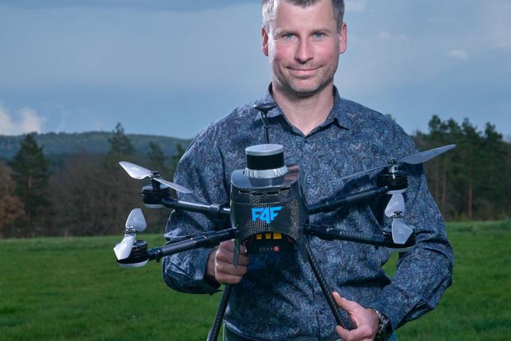
The solution, which was developed by the Multirobotic Systems Group, uses the drone's on-board sensors and on-board artificial intelligence. "The method being developed is able to detect when the drone deviates from the original task and suddenly starts behaving differently. The system evaluates this as an attack and switches the drone into a mode in which it ignores the enemy's GPS coordinates and follows the on-board AI and sensors available to it during flight," explains the principle of defence doc. Martin Saska, head of the Multirobotic Systems (MRS) group at FEL CTU. The second method of protection against GPS spoofing, which the MRS group is verifying in flight tests, consists in filtering and amplifying the original GPS signal to guide the drone and not have false coordinates imposed by the enemy.
Swarm of fully autonomous drones with on-board artificial intelligence behaves like a flock of birds
In this project, the group of researchers from Faculty of Electrical Engineering will be able to capitalize on the experience of flying in difficult conditions without GPS signals in competitions such as the unofficial Robotics Olympiad organized by the U.S. government agency DARPA in 2021 or the MBZIRC in Abu Dhabi, from which it emerged as the overall winner of the last edition in 2020 .
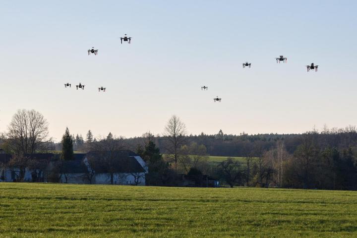
The drones programmed by the scientists from Charles Square surpass the world's competitors with the highest level of autonomy, thanks to which they form a team of independent and simultaneously cooperating robots in the air. Although they transmit minimal information to each other during flight, they are able to process external stimuli like a flock of birds and adapt their behaviour to changes in the environment. Similar to birds, they use the presence of other robots in their environment and the shared intelligence of the swarm in places where the sensory equipment of an individual is insufficient and a self-flying drone would fail.
The ability to fly in a compact dynamic formation consisting of twenty autonomous drones was also the subject of flight demonstrations in Temešvár near Písek, where nearly seventy robotics engineers from the MRS at the Department of Cybernetics of FEL CTU are testing the results of their basic research with drones in the air. It was a unique opportunity to see the results of their research in large-scale practical flight demonstrations, which can only be carried out in remote areas outside Prague.
The drone will help foresters. With a special camera, it detects bark beetles at an early stage of tree infestation
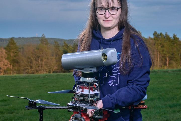
An example of a specific application in which drones can handle tasks much faster and cheaper than humans is the method of detecting trees infested with bark beetle. The solution, developed in the Multirobotic Systems group by Tereza Uhrová, a master's student in the Cybernetics and Robotics study programme, in collaboration with Eurosecur and Fly4Future, uses the ability of an autonomous drone to fly through the forest without GPS. The MRS group demonstrated a drone, equipped with a spray for marking infested trees, in a practical flight demonstration in Temešvár. The deployment of the flying robot inside the forest uses data collected by a second, larger drone equipped with a multispectral camera that takes pictures of the forest from above and can identify differences in the colour spectrum that are imperceptible to humans. The presence of the pest beetle puts the infested tree under stress, which starts to show up in the colour of the needles in the early stages, when it is otherwise very difficult to detect using methods.
A tree in which the pest has already established itself should be located, treated or removed as soon as possible. And it is on this stage of tracking down the specific infested tree that researchers from MRS FEL CTU are focusing. "The most difficult robotic task we had to solve in this application is to fly the drone from the GPS environment outside the forest inside the stand of trees where the GPS signal quality is not sufficient. Using 3D lidar and on-board intelligence, the drone is able to locate itself inside the forest, avoid obstacles, and fly to the location where the infested tree is expected to occur. The actual tracking of the tree is done with the help of an RGB camera and an on-board neural network. Once the drone identifies signs of the presence of a bark beetle (miniature holes in the bark), it autonomously marks it with a colour. The forester can proceed with certainty," summarises the essence of the method Martin Saska from MRS FEL CTU.
The method, developed by the MRS group in cooperation with the commercial sector, meets all the prerequisites for real deployment - it is fast, economically viable (imagine if a similar forest inspection were carried out, for example, from a helicopter) and accurate, because being inside the forest, the drone is able to mark a specific tree and not just an approximate location determined in the forest by an inaccurate GPS, as is the case with current solutions.
Photographs can be found here.


